By Meggie Baker
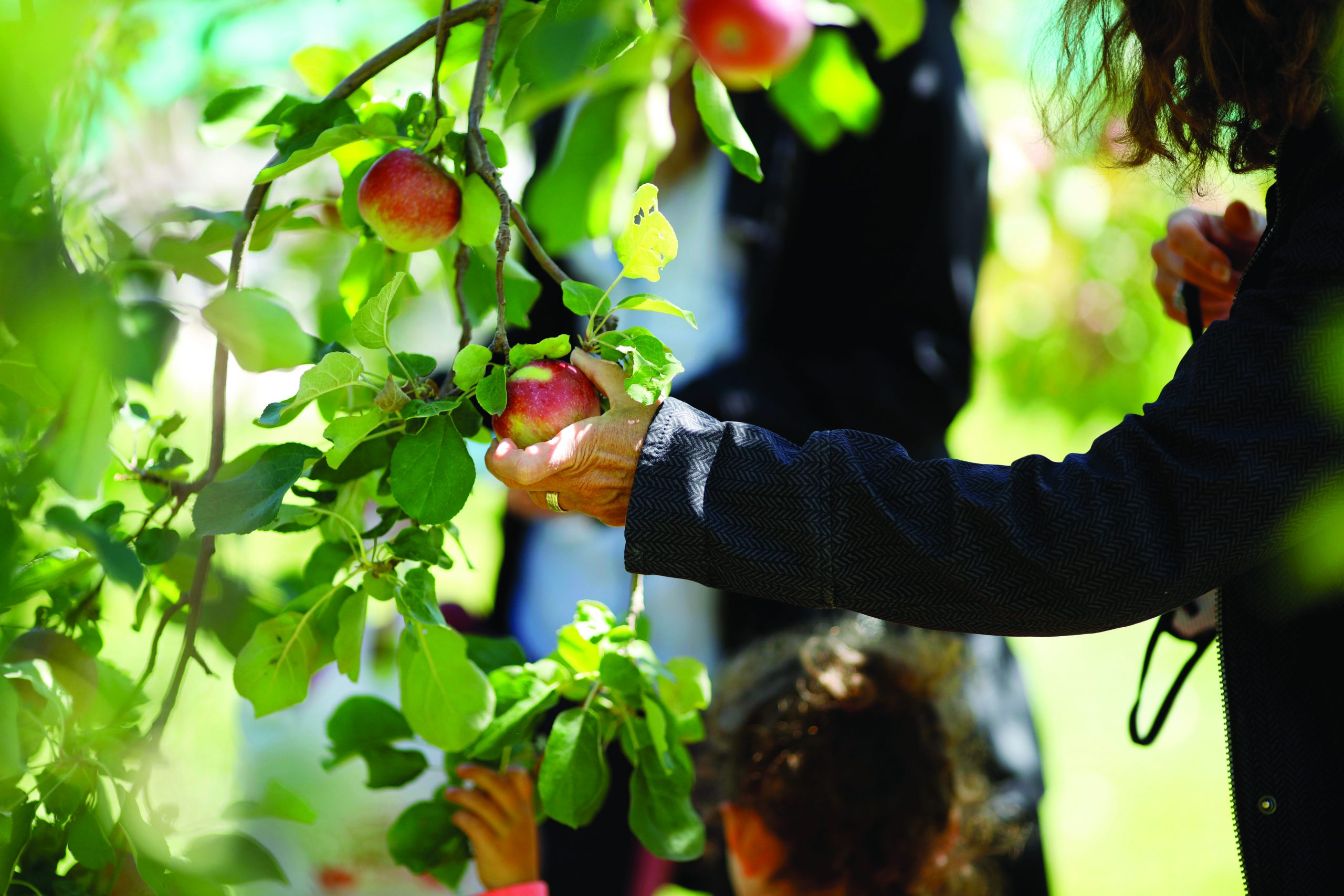
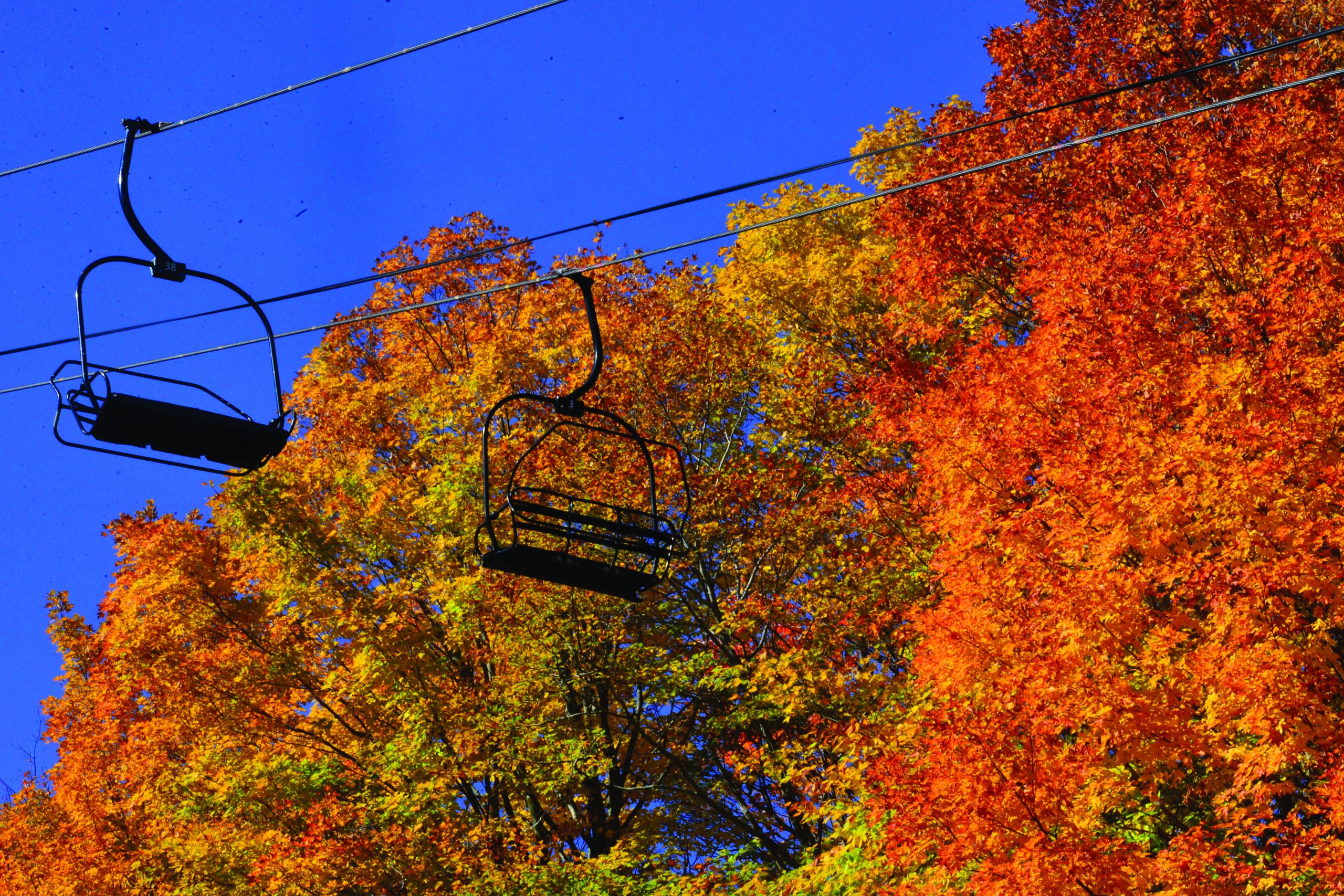
Could there possibly be a better social distancing activity than a family road trip tour of fall foliage in the Berkshires and Southern Vermont?
As New Englanders, we all know peak season for leaf peepers is Columbus Day weekend, (in Vermont, Indigenous Peoples Day), but the leaves don’t always wait for our time off. As locals, we can be ready to head out as soon as the colors are their brightest. So, pack a lunch, your camera and maybe a handful of quarters for those viewing scopes.
Want to be sure you’re getting the best show? Take a look at foliage forecasters online. We suggest: vermont.com/foliage.cfm or newengland.com/seasons/fall/foliage/peak-fall-foliage-map).
In Southern Vermont
Mount Equinox Skyline Drive
Skyline Drive, Sunderland
802-362-1114; equinoxmountain.com
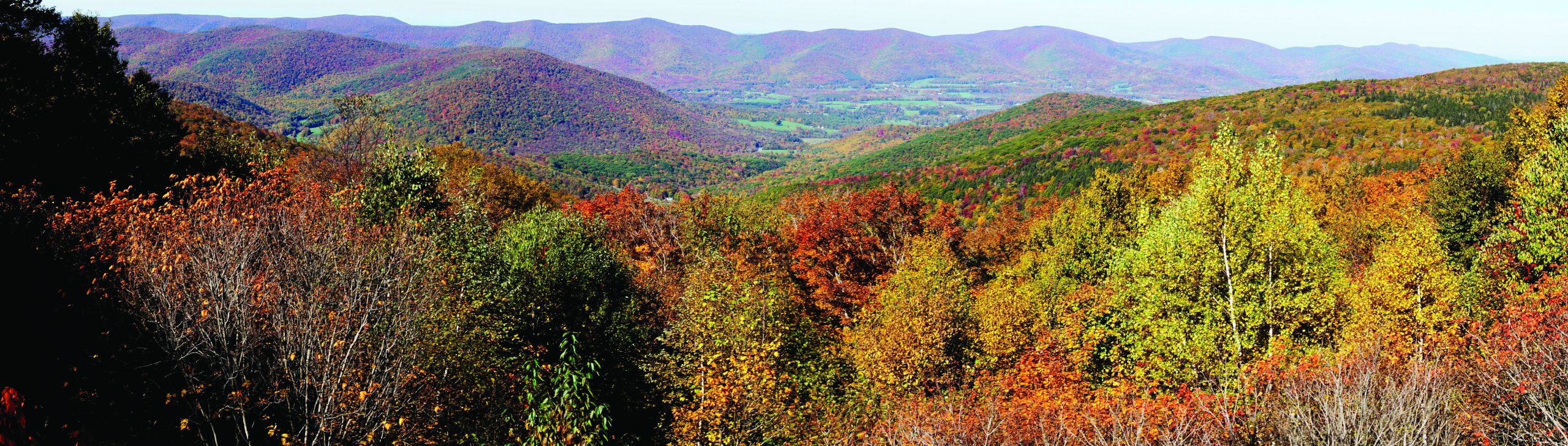
Skyline Drive is a 5.2-mile winding toll road between Arlington and Manchester, starting at the Toll House on Route 7A in Sunderland. Take in views of the Green Mountains, the Valley of Vermont, the White Mountains of New Hampshire, the Adirondack Mountains of New York, and the Taconic and Berkshire Mountains of Massachusetts.
There are places to pull off and have a picnic or go for a hike. Toll: Car and driver, $20; $5 for each passenger. Free for children younger than 10.
Even better, to get there, visitors from the south will have to drive the 19 miles from Bennington on Route 7A, which always provides a show of its own.
Molly Stark Trail (VT Route 9)

Bennington to Brattleboro
scenicbyways.info/byway/53358.html
The Molly Stark Trail covers the 39 miles between Bennington and Brattleboro, so, start at either end.
Everyone stops for the view at Hogback Mountain, but just under 3 miles east of that you’ll find Molly Stark State Park. This is a great place to get out of the car for a bit, and enjoy a picnic and a quick walk.
In the park, take the Mount Olga Trail, a quick, easy 1.7-mile loop with a fire tower. Note: The steps of the fire tower are very narrow. It’s easy to imagine crowding on peak days.
Hogback Mountain.
In the Berkshires
The Mohawk Trail

Williamstown to Westminster (Route 2)
bywayswestmass.com/byways/mohawk-trail
Begin in Williamstown, just 9 miles east of the best vista around, the Hairpin Turn at the Clarksburg/North Adams line with views of Adams, North Adams, Clarksburg and Williamstown. (If you haven’t already visited, drive up Mount Greylock on your way by.)
Hop out briefly at the Hoosac Range trailhead about a mile past the Hairpin Turn and take a quick walk to Sunset Rock, looking down on North Adams. Don’t worry, it’s certainly not the only spectacular view along the almost 70-mile byway. Follow the Deerfield River from Charlemont to Shelburne, and when you get to Greenfield, stop and explore Rocky Mountain Park along the Connecticut River. From Westminster, check out Wachusett Mountain State Reservation for 360-degree views from this 2,006-foot peak.
Jacob’s Ladder Scenic Byway (Route 20)

Russell to the Lee/Lenox town line
bywayswestmass.com/byways/jacobs-ladder-trail
The Jacob’s Ladder Scenic Byway is a shorter fall drive, only 35 miles through Russell, Huntington, Chester, Becket and Lee. It’s short, but it has the distinction of being the first mountain crossing built by the state for automobiles.
October Mountain State Forest and Chester-Blandford State Forest are convenient stops to add to your day. Another highlight along this byway are the Keystone Arches, stone railroad bridges built around 1840 without mortar or steel reinforcements. A 2.5-mile trail offers a chance to hike and see the bridges up close.
Mount Greylock Scenic Byway

Lanesborough to North Adams
(Rockwell Road, North Adams Road, Notch Road)
bywayswestmass.com/byways/mt-greylock
There’s more to Mount Greylock than just the peak! Take this short, 16-mile drive from Lanesborough to North Adams, perfect for catching some foliage if you can’t make a day of it. And if you’ve got the time, don’t miss out on the 70 miles of hiking trails available in the reservation.
Be aware, during peak season, the road to Mount Greylock can be congested, and foot traffic can be heavy at the summit. Sorry, but the Visitor Center, in Lanesborough, is currently closed due to COVID-19 precautions. Parking fees apply.
Meggie Baker is the calendar clerk for The Berkshire Eagle.